Metsähallitus’ Excursionmap.fi map service, known as the number one tool of all hikers, has been renewed. In addition to improvements made to technical functionality, the map has been complemented with photographs of the most popular sites, the information contents of the map have been increased, and the map is now updated more frequently.
Excursionmap.fi contains state and municipality-owned nature destinations, trails and structures built for hikers, such as campfire sites, lean-to shelters and wilderness huts. The map also includes state-owned fishing and hunting areas.
– The map shows the top destinations as well as the more quiet corners of the Finnish nature. The sites are sure to offer new experiences to everyone from first-time visitors to seasoned hikers, says the project manager responsible for the Excursionmap.fi service, Specialist Tapani Mikkola from Metsähallitus, Parks & Wildlife Finland. – It is advisable to use the provided service structures, that is, to stay on the paths and follow the instructions, as these are in place to restrict access to and protect the most delicate nature sites.
During the corona-virus in spring and summer of 2020, the popularity of hiking among the Finns has been clearly visible at the nature sites of Metsähallitus and, consequently, also in the Nationalparks.fi service. The map links in the Nationalparks.fi service all lead to Excursionmap.fi. Every fishing and hunting area is presented with a map view based on the Excursionmap.fi. In Excursionmap.fi there are also hiking destinations in the multiple-use forests. Therefore, Mikkola considers the renewal of the Excursionmap.fi service particularly well-timed. – Surely, there is no better way to embrace the 2020 top summer of domestic natural tourism.
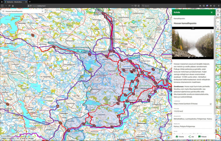
– The Excursion Map is the hiker’s number one tool for planning trips, and it is also a great service to use during the trip, provided that the hiker is not in a mobile network dead zone. It is great that you can choose to display on an accurate map, or perhaps on an aerial image, the exact additional layers you want: hiking routes, ski trails, lean-to shelters, huts, borders of protected areas, and so on, says Jouni Laaksonen, freelance journalist and non-fiction author specialised in hiking, who is also a frequent user of the service.
– Excursionmap.fi is an online map that can be customised by its user, Mikkola summarises.
Despite being user-friendly, Mikkola says that the Excursion Map can also be described as a service for hiking and map enthusiasts – as a map for anyone who wants to determine the information contents of their map themselves.
– The map includes over 11,000 structures that serve hikers all the way from the Archipelago Sea to the fells of Northern Lapland. All of them are easy to find by using the Excursion services map layer.
In turn, the Nationalparks.fi website offers maps in PDF format that provide a quick overall view of the destinations and an easy way to explore the general features and trails of different areas. Moreover, the Nationalparks.fi and Eräluvat.fi online services also include detailed site descriptions of the most popular nature destinations and of all fishing and hunting grounds administered by Metsähallitus.
Aslan Venejoki from Anders Innovations Oy was in charge of the renewal of the Excursion Map, and according to him, this was a dream project for the entire team.
– It is not often that you get to renew a service that is already extremely popular and also aligned with your own interests. From a technological perspective, the renewal project allowed us the utilise almost all areas of modern software development, from interfaces to mobile development and DevOps. It has been particularly fascinating to work with the top-quality location data provided by Metsähallitus.
More information
Project Manager, Specialist Tapani Mikkola, Metsähallitus, Parks & Wildlife Finland, e-mail: tapani.mikkola@metsa.fi, tel: +358206394275