Lands and Waters
Metsähallitus manages almost one third of Finland and its natural resources – forests, shores, waters and soils. We sustainably use, manage, and protect the state-owned land and water assets under our stewardship and reconcile the expectations and aims of the state and our stakeholders and customers. We aim at leveraging the optimum sustainable benefit from state-owned land and water areas inter-generationally, as well as enhancing wellbeing and regional vitality.
State-owned land areas
Protected areas
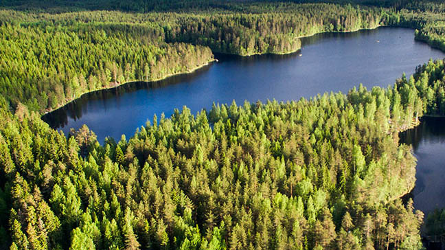
Protected areas and nature reserves, such as national parks, established on state-owned lands form the core of Finland’s conservation efforts. Nature reserves, wilderness areas, and state-owned hiking areas are part of the European Union’s Natura 2000 network. Protected areas on state-owned land are complemented by nature reserves on private land.
Multiple-use forests
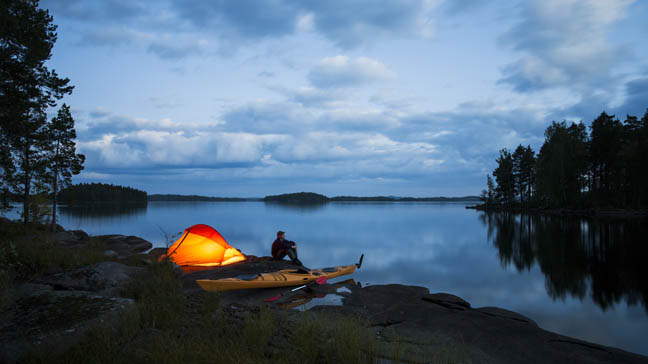
The areas used by Metsähallitus for commercial forestry are multiple-use forests. Multiple use means that the forests are not only used for timber production but also for hiking, hunting, picking berries, and pursuing livelihoods, including reindeer husbandry and tourism services. Safeguarding the biodiversity of Finland’s forests is also a part of the principle of multiple use. All these needs are accommodated in our forest management and use.
Public Water Areas
We work extensively in the sustainable use and protection of water bodies. We are responsible for carrying out the general tasks associated with managing water bodies, conducting wilderness supervision, surveying and protecting sea and inland water habitats, maintaining recreational fishing areas, and ensuring the conditions for fish farming. We take the protection of water bodies into account in all forestry operations.
Land use planning and reconciliation
A diligent planning process
The state’s land and water areas are the focus of many types of needs and wishes regarding their use. The important task of reconciling these is ours. This requires us to go through a diligent, multi-stage planning process. We conduct all land use planning in partnership with our stakeholders.
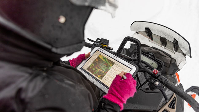
Use of geographic information
The usage planning for state-owned lands relies on accurate geographic information. We use several geographic information systems to keep up-to-date on natural resources, state-owned land and water areas, nature reserves and protected species, and planned and completed actions.